The night of August 17, 1959 forever changed the landscape and the lives of the residents and visitors of Madison Canyon (about 10 miles northwest of West Yellowstone). Close to midnight, an earthquake, measured at 7.5 on the Richter Scale, struck this area without warning. At the time, it was the 2nd largest earthquake measured in the lower 48 states. A massive landslide, over 80 million tons of rock, crashed down into the canyon and blocked off the Madison River.
Many people were camping along the banks of the river in a popular campground. The landslide buried parts of the campground, and the rapidly rising waters submerged the remainder of the campground. Twenty-eight people were killed as a result of the earthquake. By dawn, a lake had formed in what was once just a river.
In this photo below, you can see what is now referred to as “ghost-trees”, where the campground used to be. The hill where the landslide occurred is on the left side, and you can see what is called the “bathtub ring”, along the right side of the photo. This is how high the water rose after the landslide.

Ghost-trees
After the landslide, the water continued to rise and began rising backwards over the dam in nearby Hebgen Lake, causing several cabins to be destroyed. The water washed out many sections of Highway 287 which runs along the river. Within three weeks, what was once just a river, became a 5 mile wide, 190 foot lake. The Army Corps of Engineering was deployed and was able to blast through part of the landslide to create a spillway and relieve the pressure of the lake and control the flow of water. They were concerned if the landslide shifted, the Madison Valley area would be flooded.
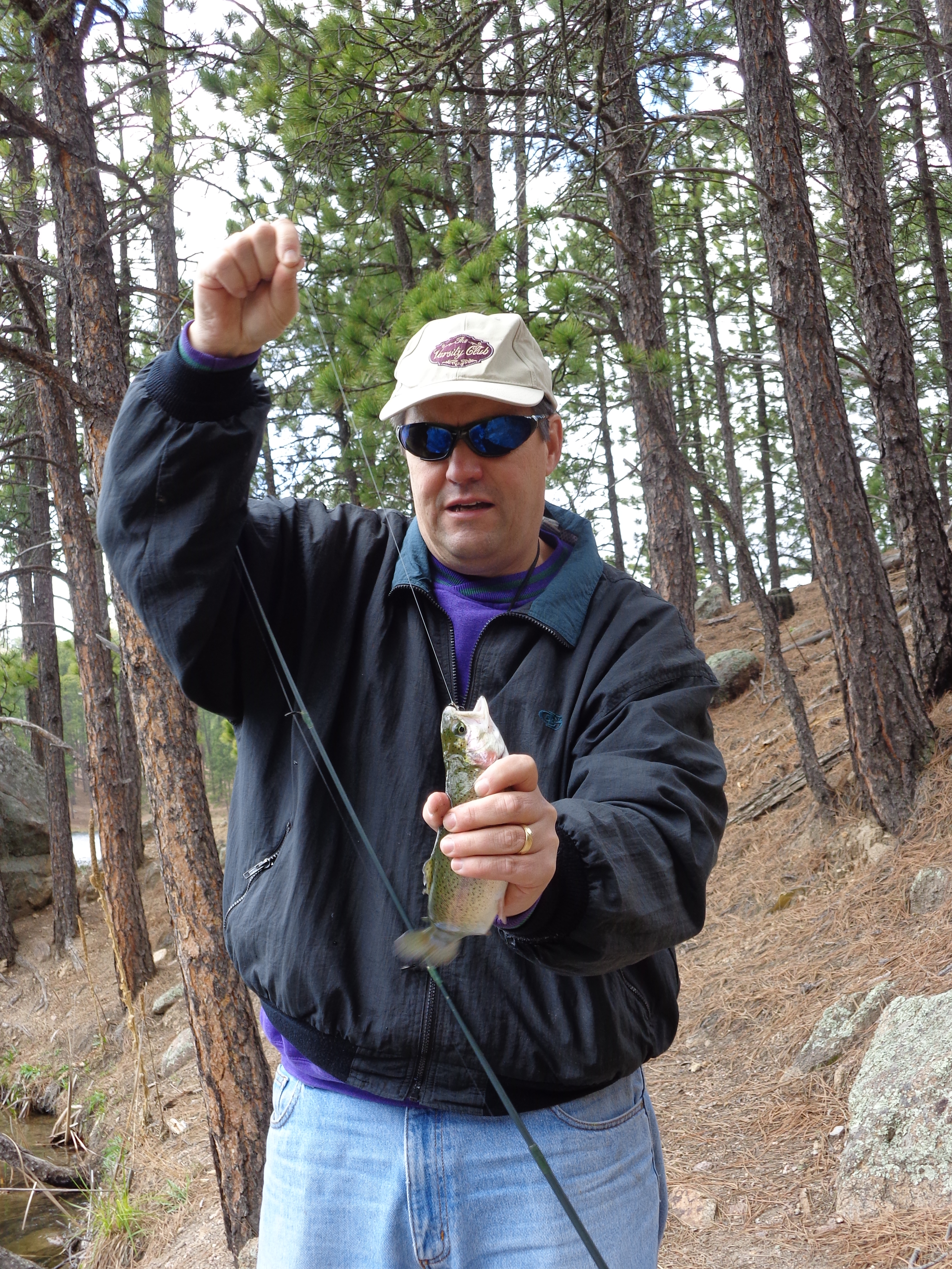
This photo shows the other side of the landslide, where they created a spillway to prevent the valley from flooding. Originally the spillway was a straight river, but over time, nature has taken back the landscape and created this winding river, which has become a popular trout fishing area.

Madison Valley river
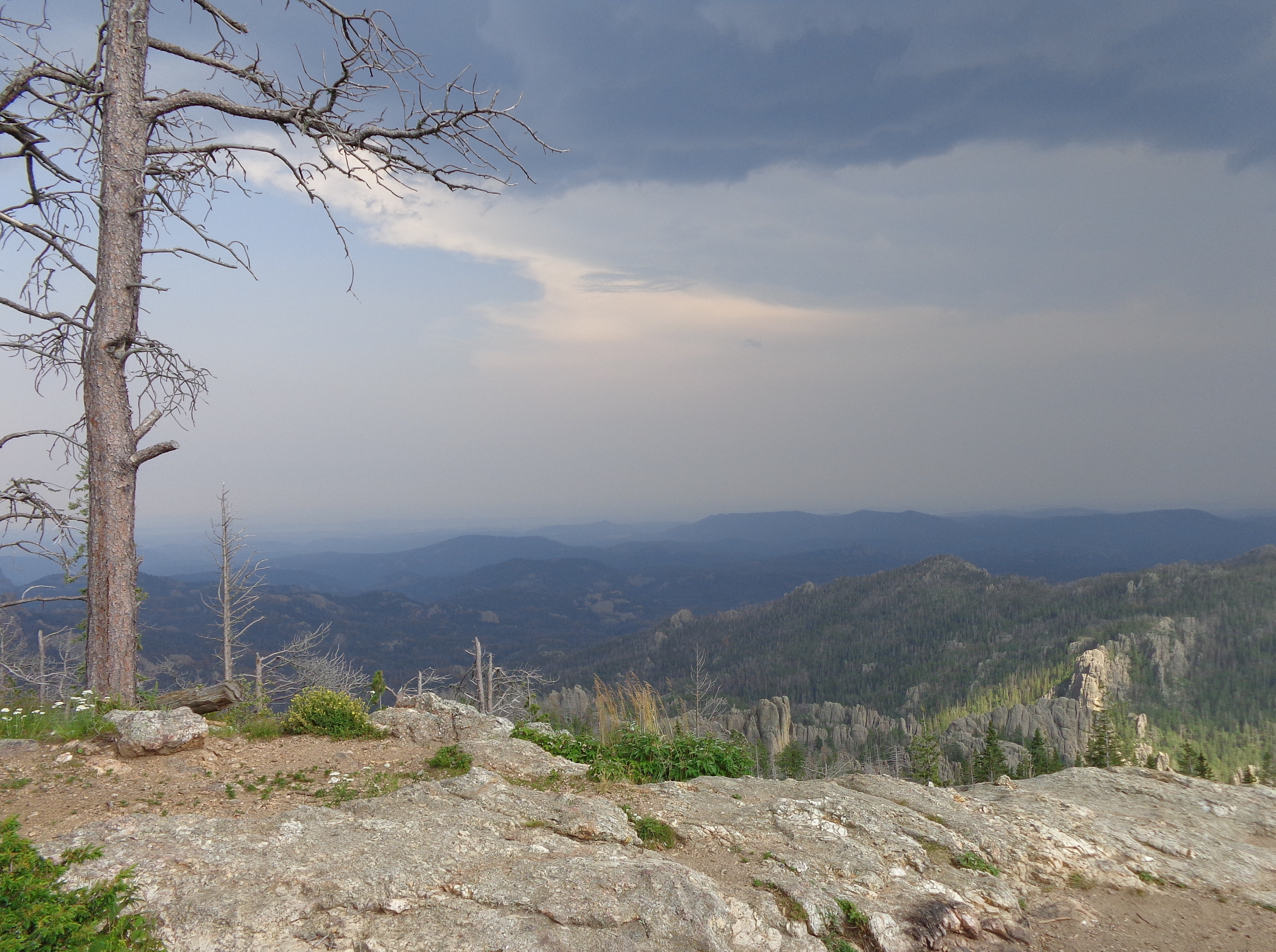
It is believed that the lake will continue to drain down, and eventually return to a river. But it could be decades before this happens. In the meantime, the lake is a beautiful, scenic area that covers up the scars of the past.

Earthquake Lake
But once you turn around, the evidence of the landslide remains, with a large barren area.

area of landslide
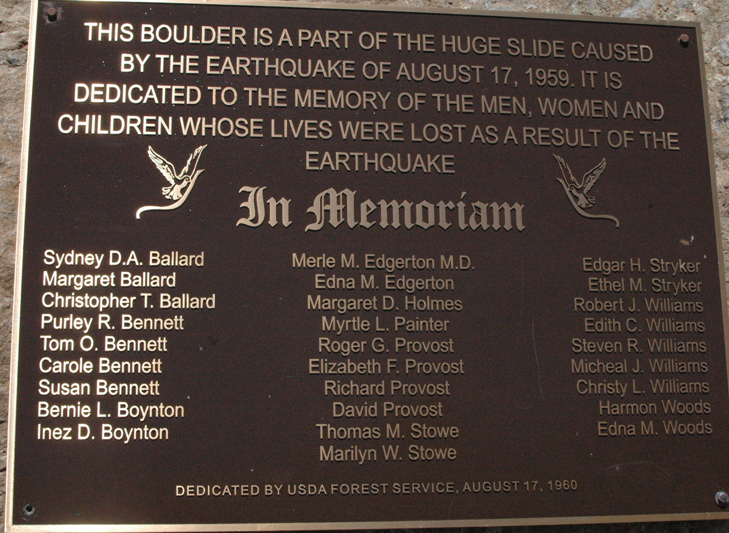
A portion of the rocky cliffs was sheared off, and this remaining rock has been turned into a memorial for the deceased. A plaque has been placed on the boulder with the names of those that did not survive. Over 250 people were camping in the area, so the death toll could have been much worse.

Memorial Boulder
rest in peace
The U.S. Forest Service maintains a visitor’s center at Quake Lake. It offers an excellent video detailing the events on that fateful night, along with many photographs taken after the earthquake, and survivor’s stories.
One interesting fact from this earthquake. Over 200 geysers in nearby Yellowstone National Park erupted following the earthquake.
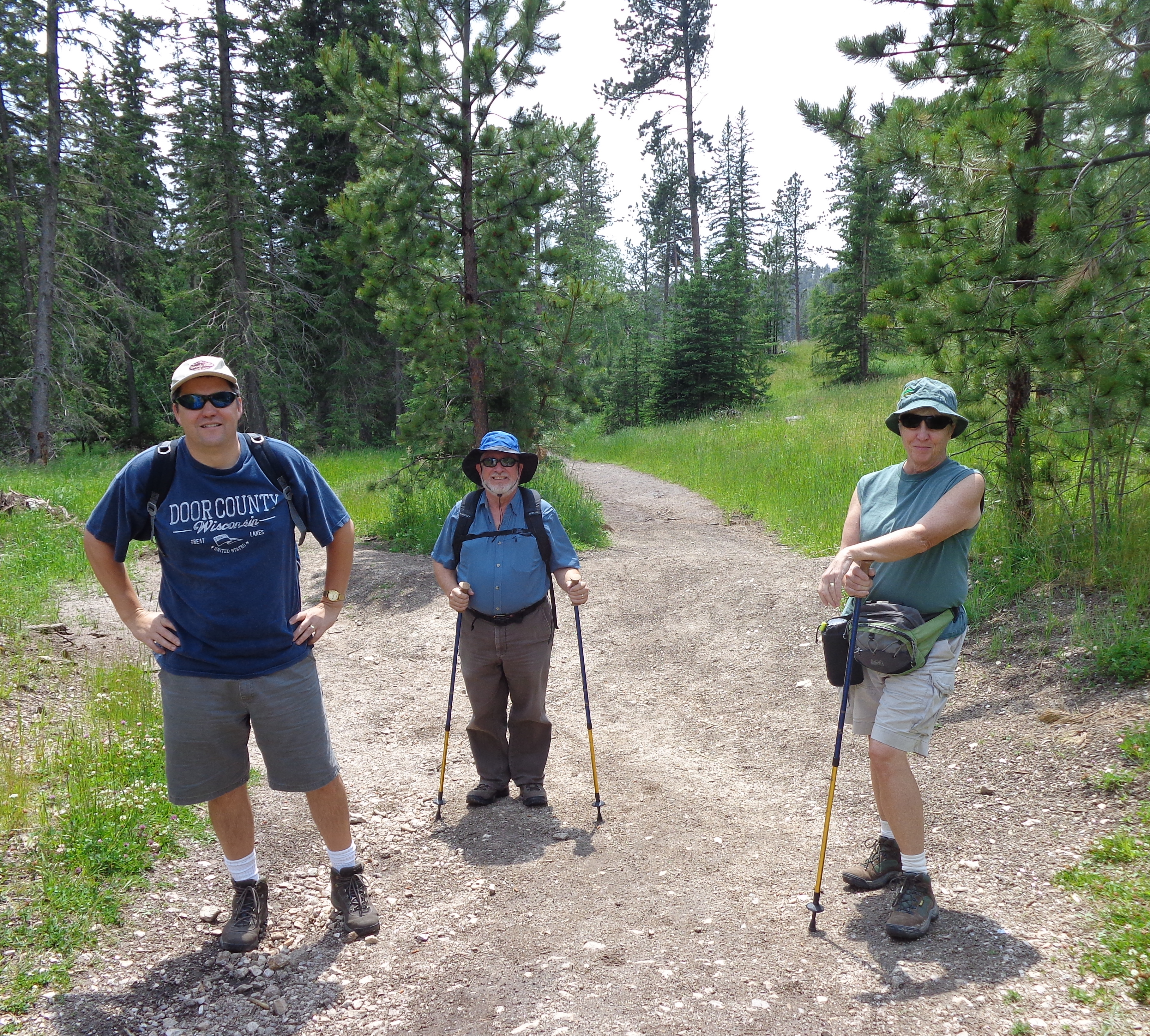
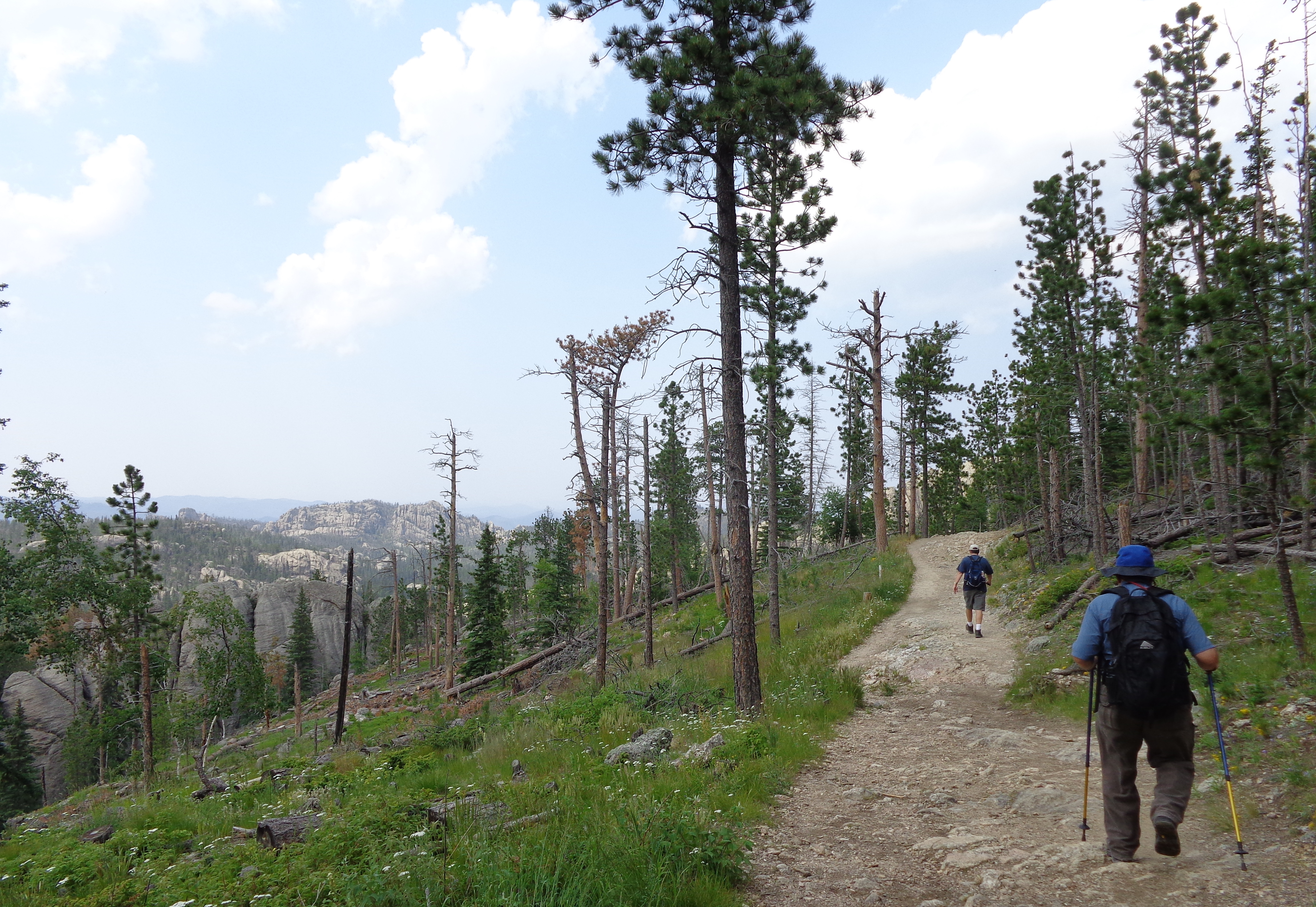
If you are in the area, this is definitely worth taking a short day trip to see this area.
Quote for the day: “In the morning we looked across from where we were, and the mountain had just fallen down.” – JoAnn Gartland, earthquake survivor