Our time in West Yellowstone has ended. Sunday morning we hitched up and headed East. We had several very long travel days (we took turns driving) and our currently parked in Wisconsin at Dan’s sisters house. We will have a very busy two weeks here, before heading down to Jeffersonville, IN at the end of the month to start our fall work camping job with Amazon (year 3).
This morning we did our drug test for Amazon. The woman at the lab remembered us from last year, and said she is still trying to convince her husband they need to follow in our footsteps! We will be driving to MN for a bridal shower this weekend, and then down to the Milwaukee area for dentist and doctor appointments early next week.
We really enjoyed our jobs this summer at the Homeroom at Madison Crossing. The owner asked us every day for the past several weeks to come back for next year, but we have always maintained we want to see other parts of the country each summer. We have a few ideas in mind for next summer, but nothing definite at this time. Hopefully we can solidify next summers job before this year is over.
In the meantime, I do have one last blog from our time this summer.
SIDE TRIPS TO IDAHO
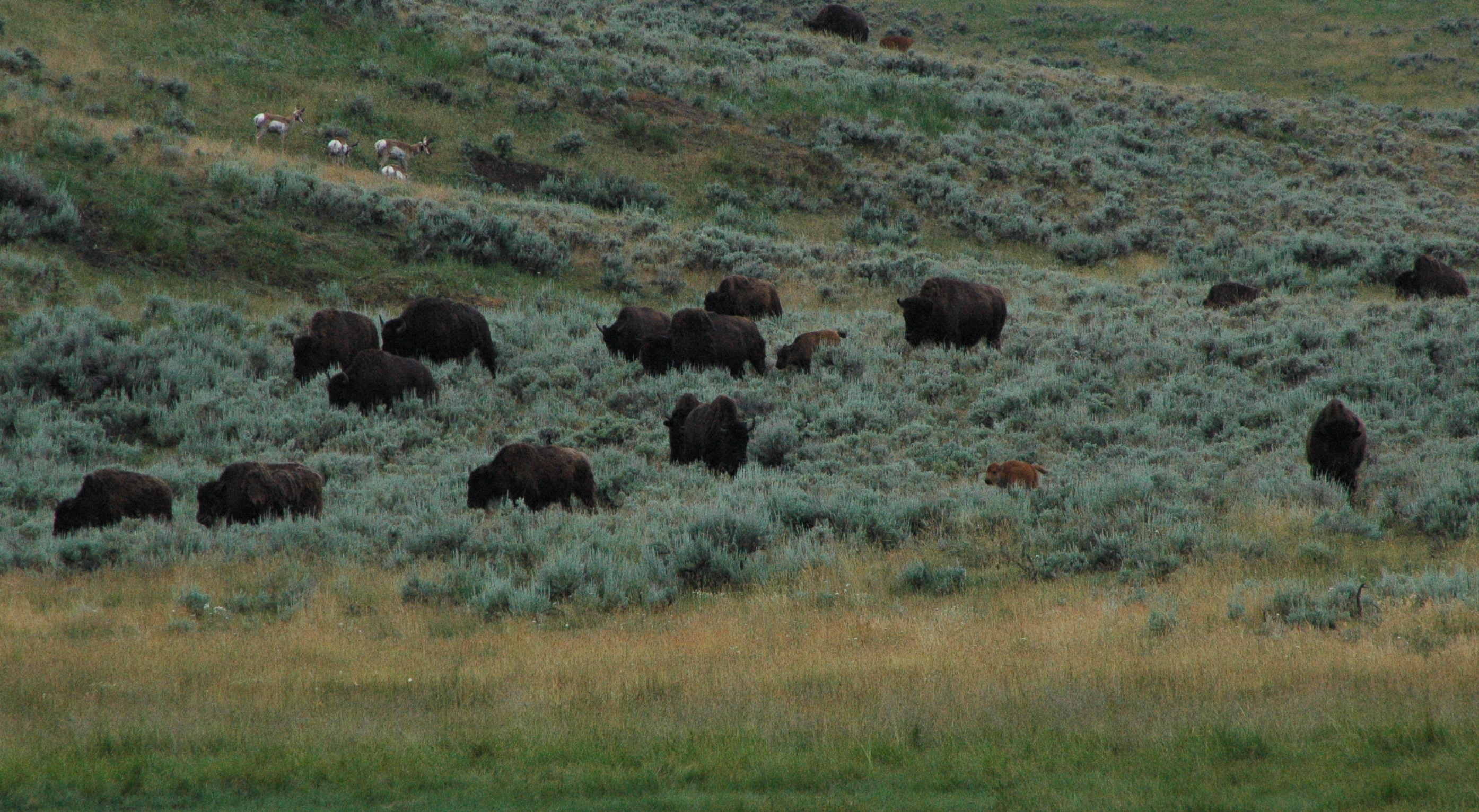
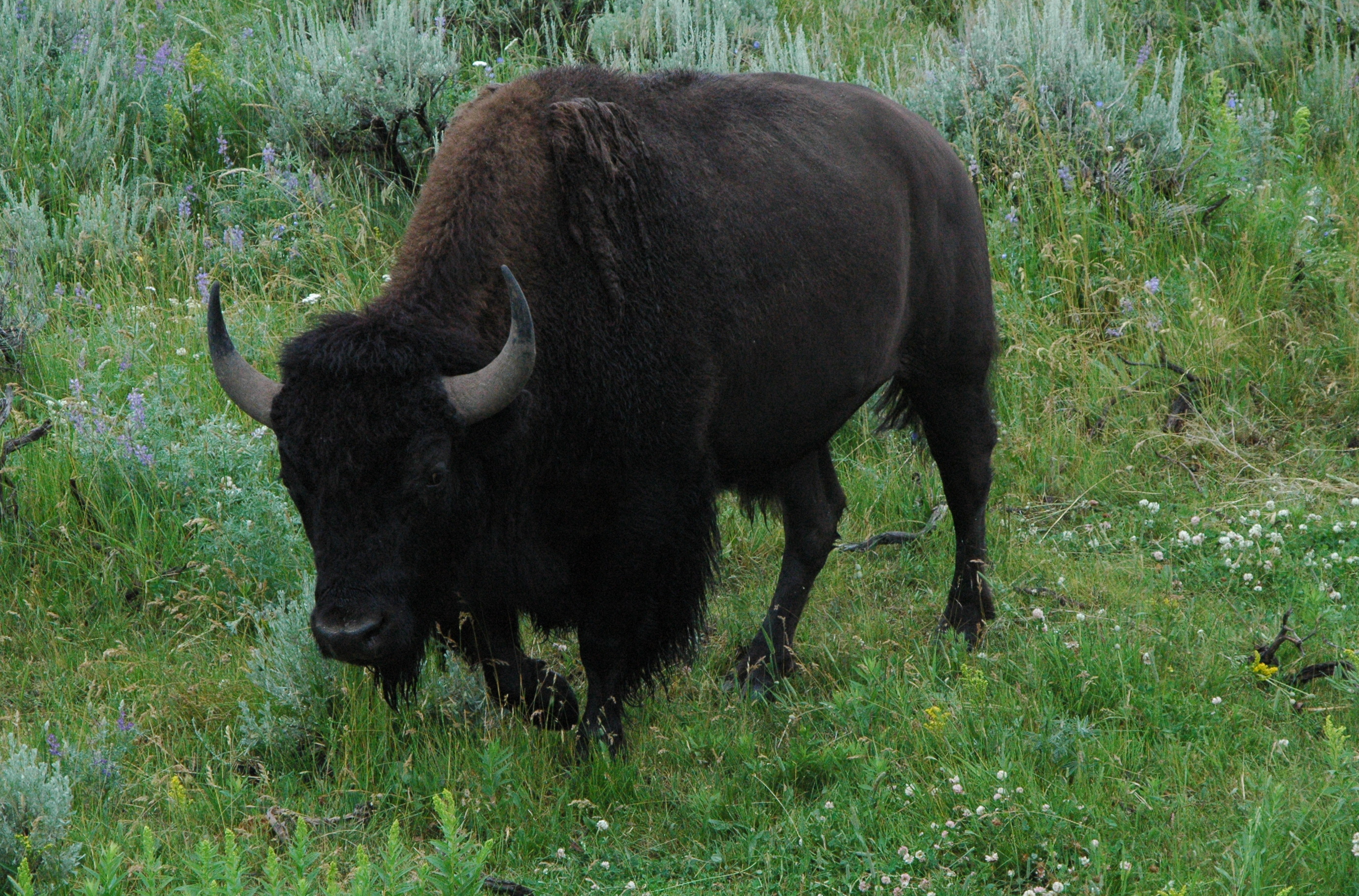
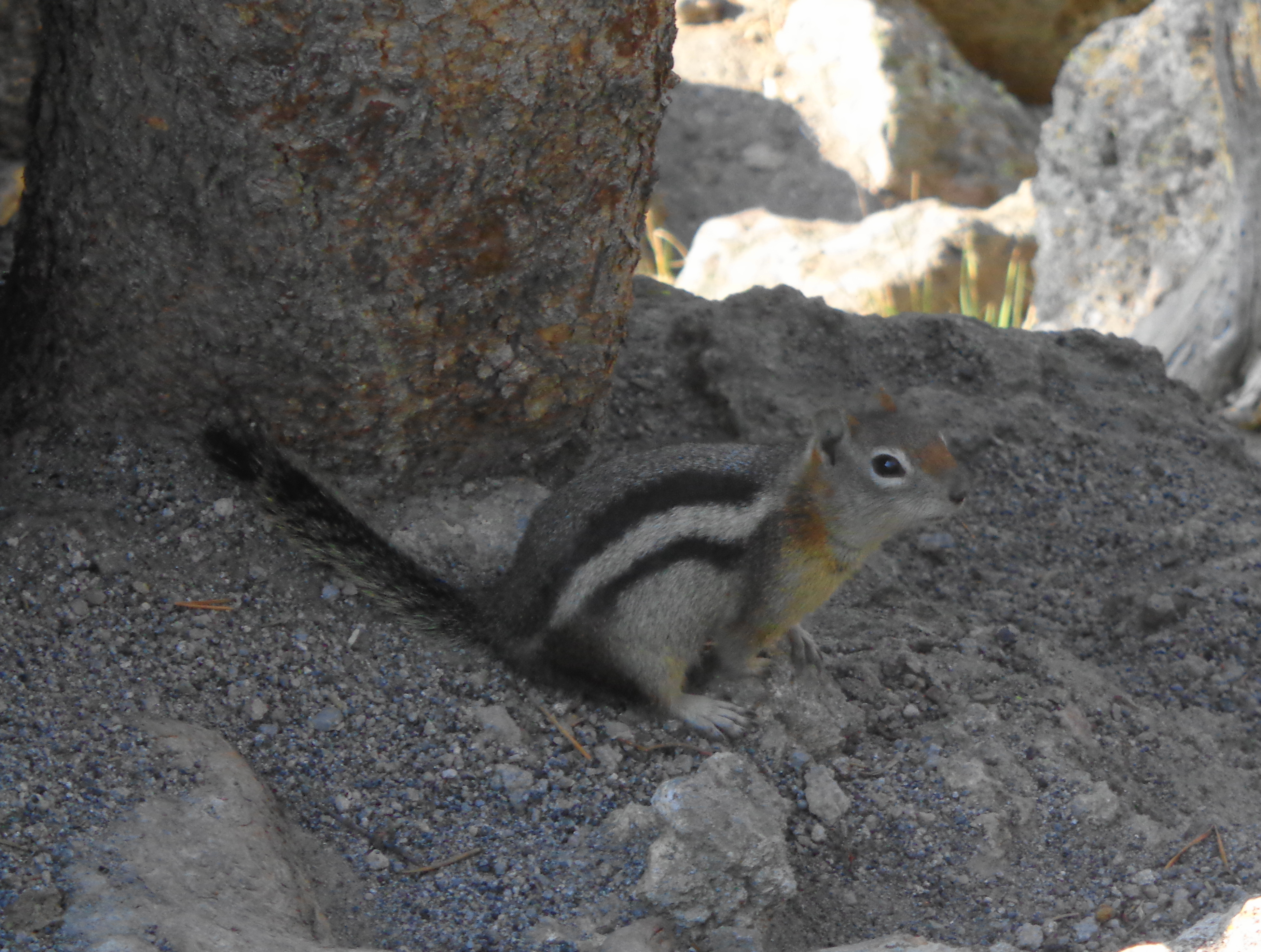
We took advantage on some of our off days this summer to venture over into The Gem State, Idaho. Most people would consider Idaho to be the potato state, as that is what it is most famous for. But they are called the gem state for its abundance of natural resources and scenic areas. The mountains contain veins of various minerals.
We checked out many of the local scenic areas that were a short drive from West Yellowstone.
Johnny Sack Cabin
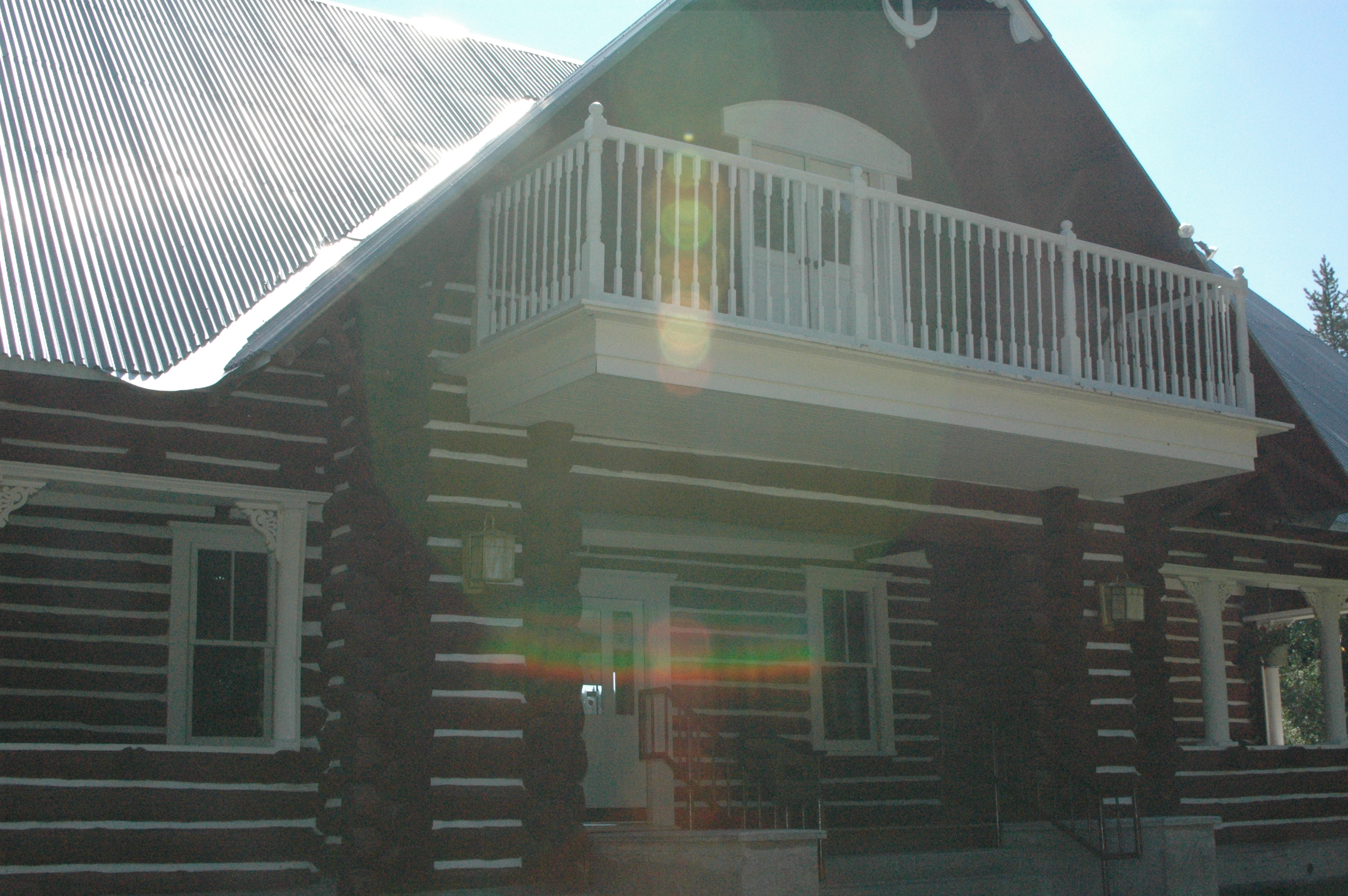
Located in Island Park, Johnny Sack Cabin is a popular tourist destination. Johnny Sack purchased a parcel of land from the forest service in 1929, and spent the next three years building a cabin and water-wheel on Big Springs. The scenery is beautiful, and the water is crystal clear and a perfect spawning area for trout.
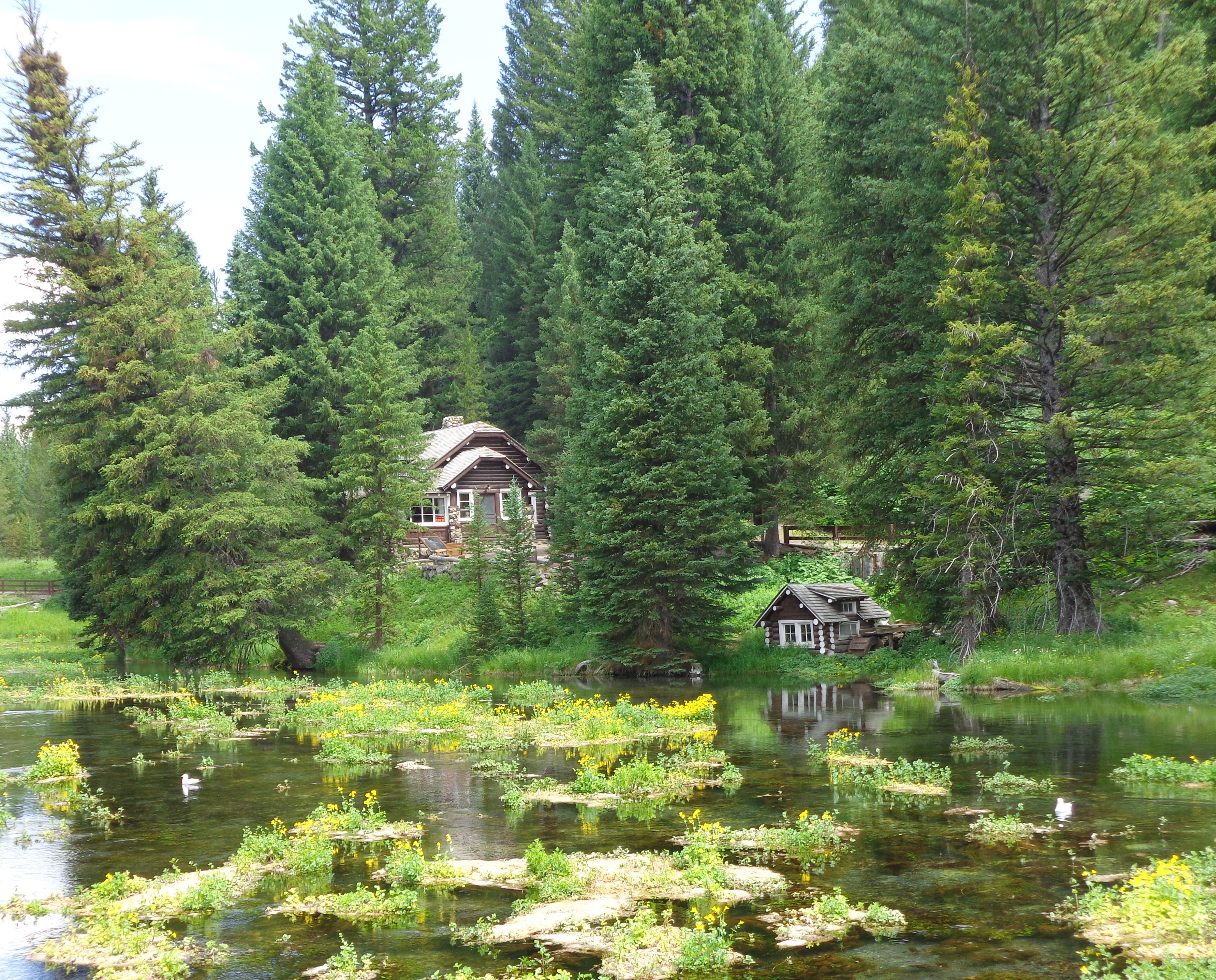
Johnny Sack cabin
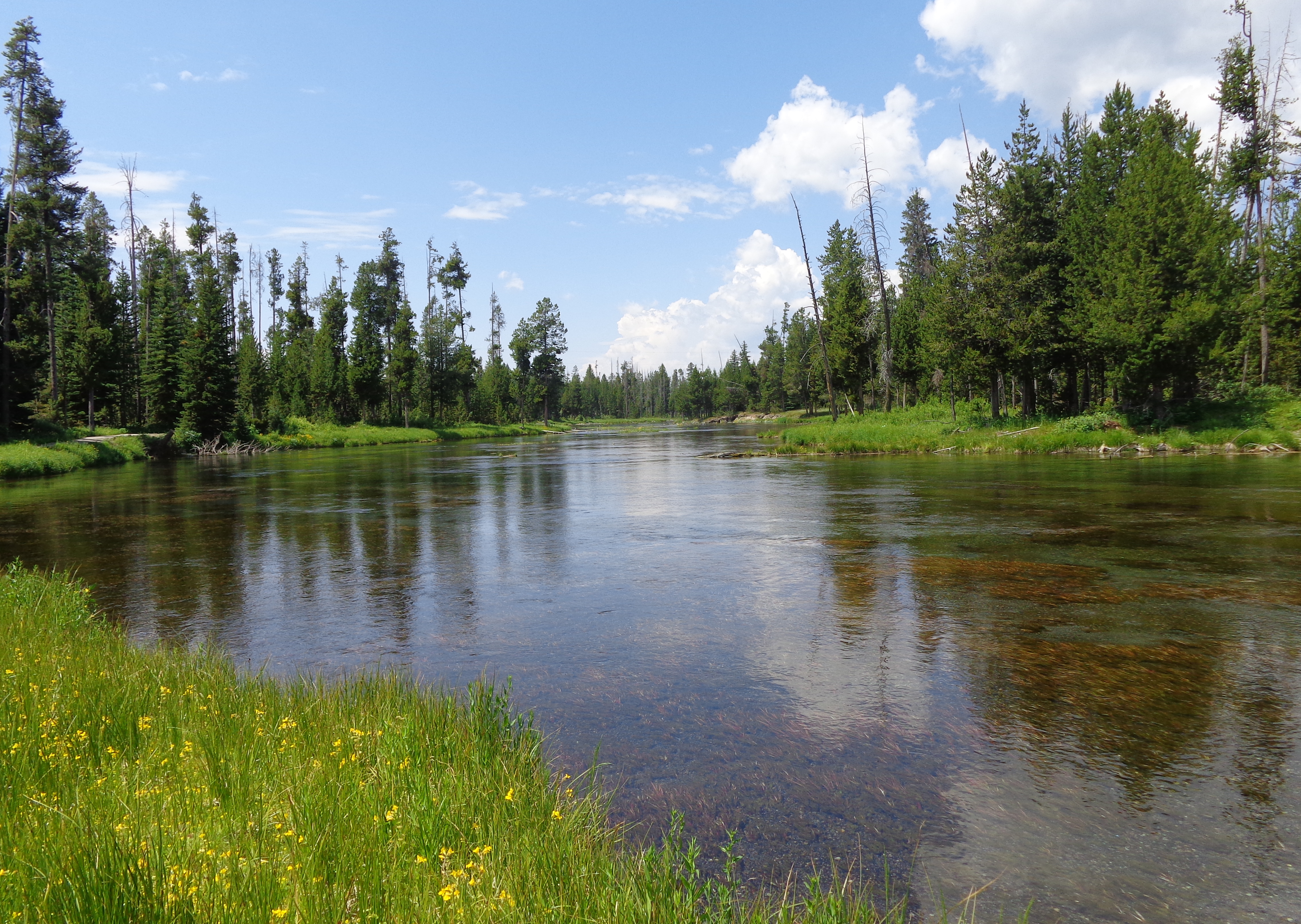
Big Springs

cabin with outhouse

water wheel

kitchen

stone fireplace
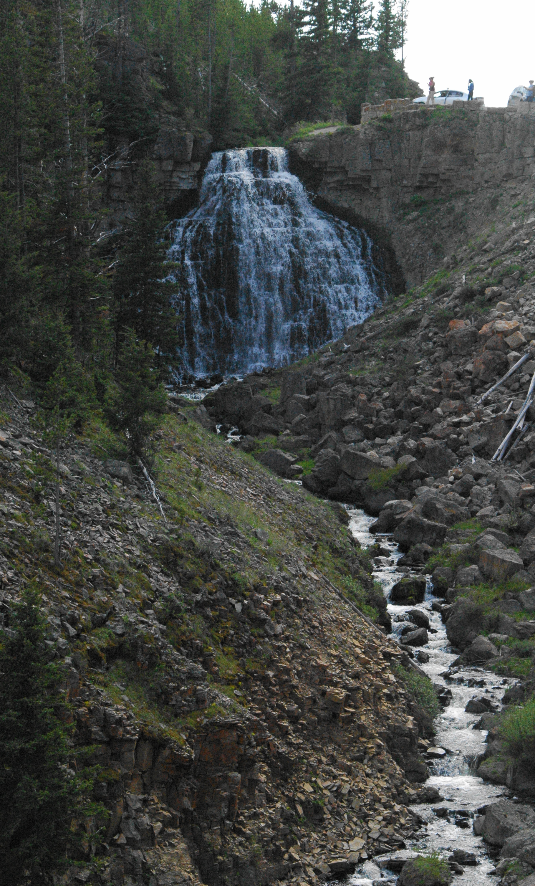
Mesa Falls
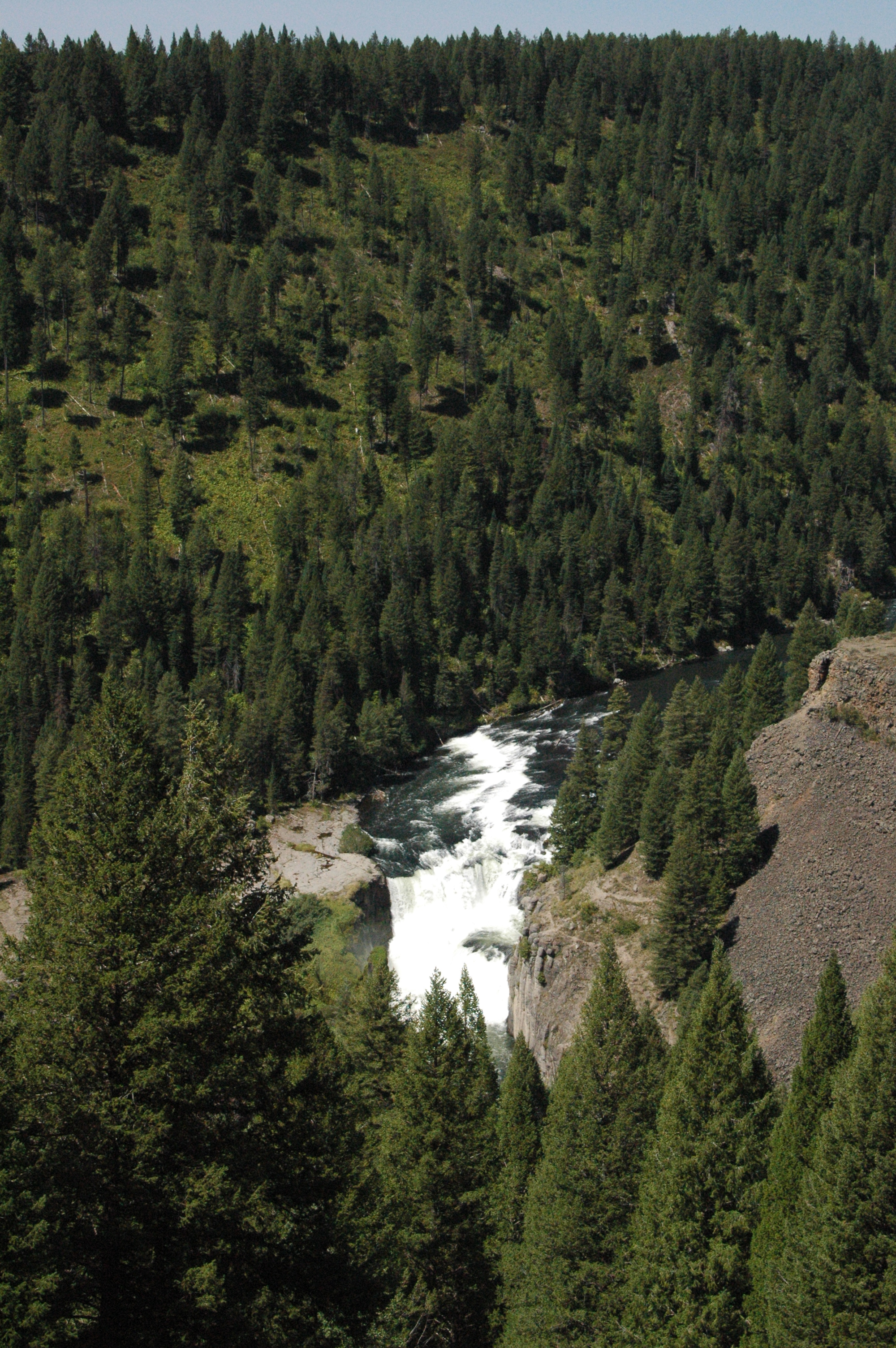
About 51 miles from West Yellowstone is the Mesa Falls Recreation Area which contains two water falls, along with Big Falls Inn, which is now on the National Register of Historic Places. Mesa Power Company built the Inn between 1912 – 1914, possibly as an office. There were plans for a dam and power plant, but they were never built. The Inn became a stage-coach stop and hotel for travelers to Yellowstone, and served many other purposes over the years, before being acquired by the Forest Service in 1986.
Mesa Falls Inn
There is an easy walking path from the Inn to Upper Mesa Falls, which is 114 feet high. The falls is a very popular spot for photographers, because there always seems to be a rainbow present.

Upper Mesa Falls
Lower Mesa Falls is located about one mile downstream from the Upper Falls. There is a distant overlook to view the 65 foot high falls.
Lower Mesa Falls
Our co-workers Tom and Ellen recommended we stop at Frostop in Ashton, Idaho for lunch. They had delicious hamburgers, outdoor service and ice cold root beer. We were too full to enjoy desert, which also looked good. This place was a blast from the past!

Frostop
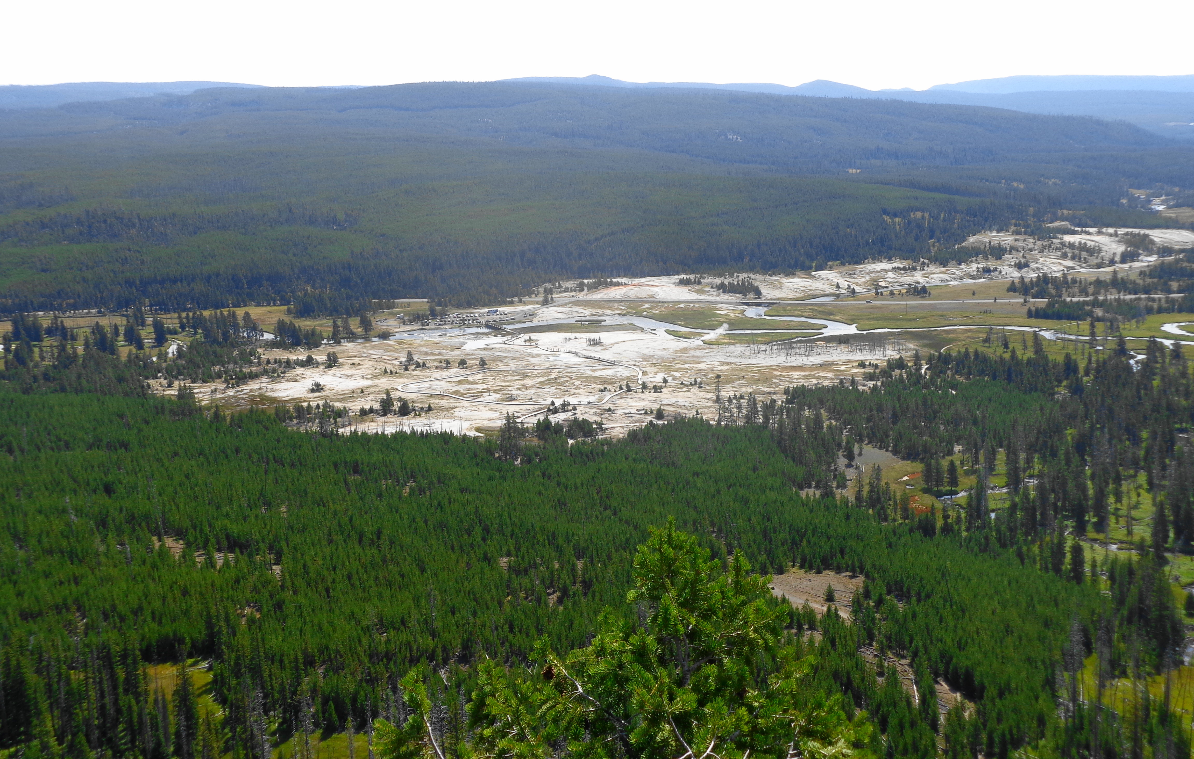
Sawtell Peak
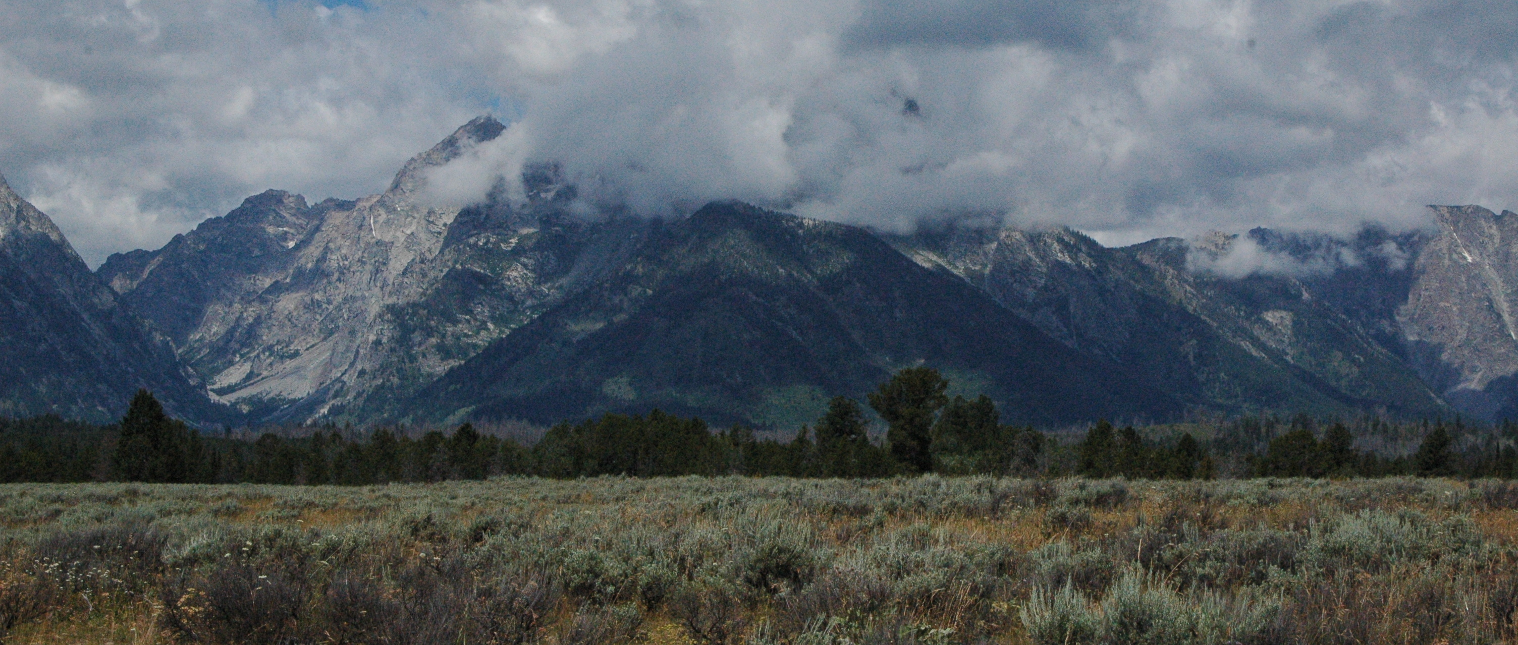
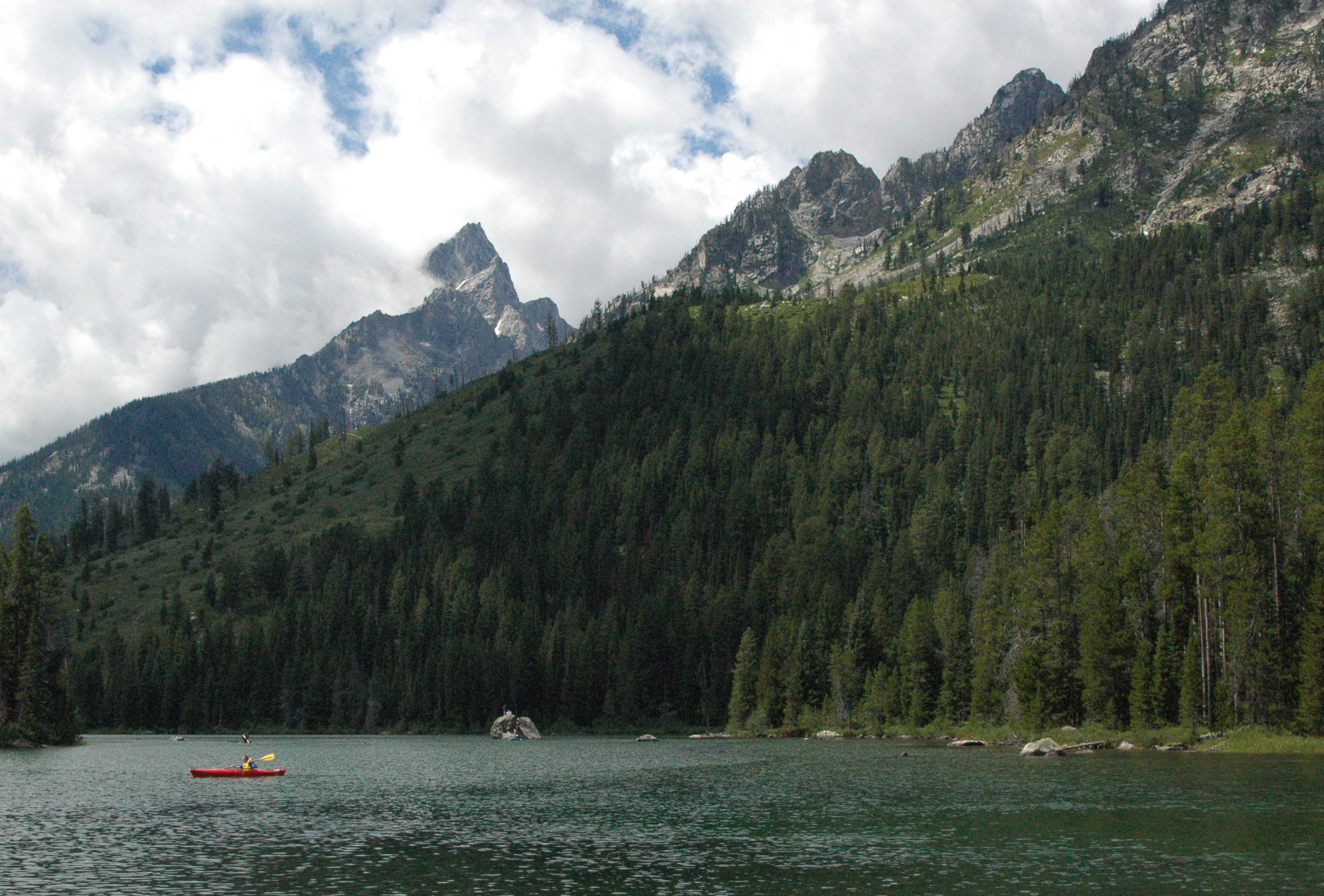
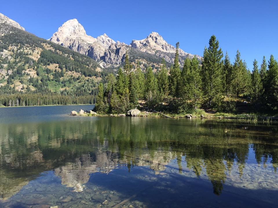
When you approach Island Park, you can see a big metal ball on top of one of the mountains. What most visitors don’t know, is that you can drive up to the top of Sawtell Peak. Those that do venture up the 12 mile gravel, windy road full of switch backs, will discover spectacular views. You can even see the Grand Tetons from the peak, which is amazing considering they are over 60 miles away (but difficult to get in a photograph).
Why is there a road going up to the top of the 9875 foot summit? The big round ball is actually a FAA flight traffic radar control unit. Our GPS shows how windy the road to the top is!

GPS of Sawtell Peak

spectacular views

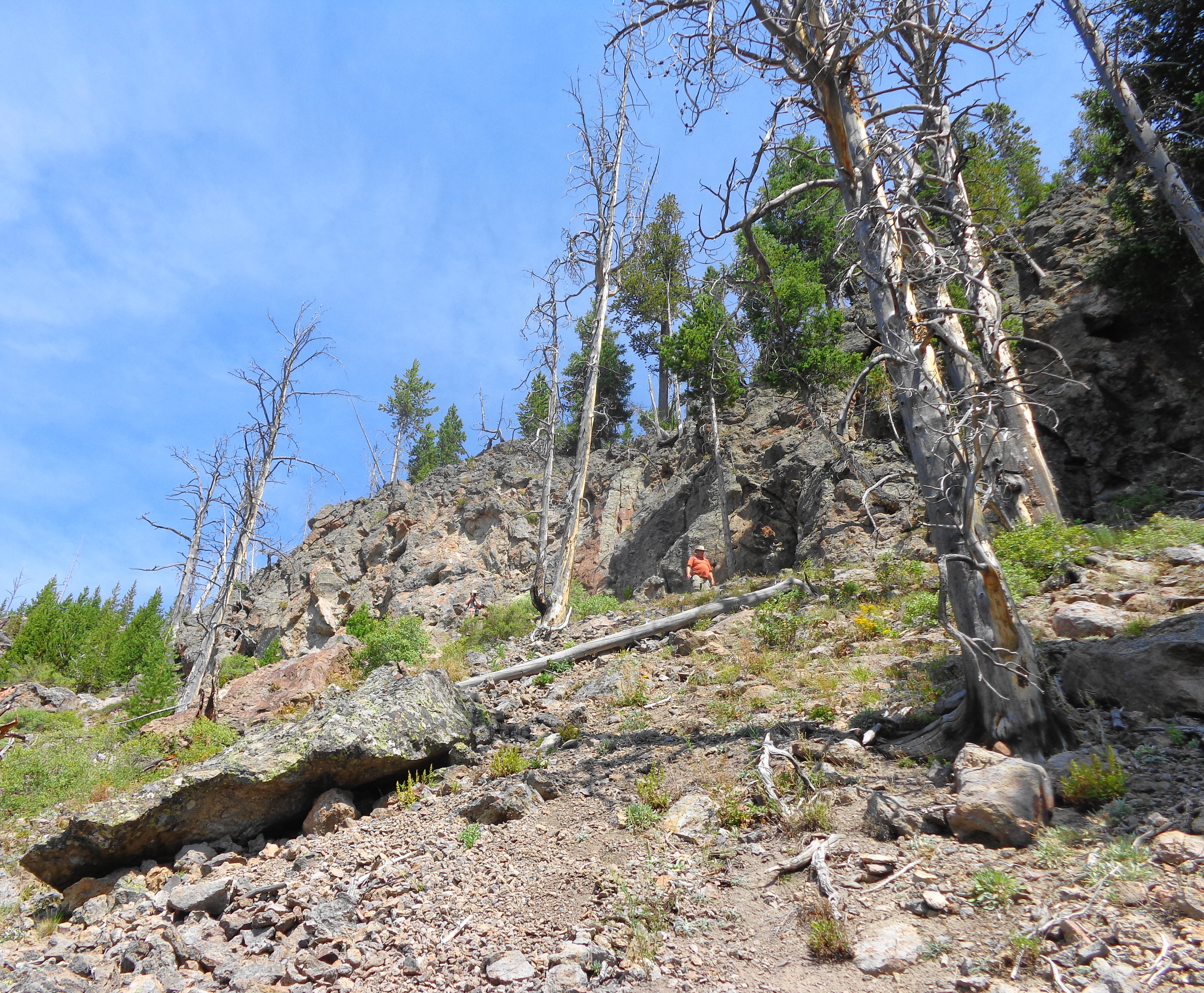
Big Sky, MT

When I saw Dan walking back up the hill, I immediately thought of Julie Andrews singing “The Hills are Alive” in the Sound of Music movie!

The Hills are Alive!
Idaho, from the small amount that we have seen, is truly a “gem” state. We hope to return and explore many more areas in this area..
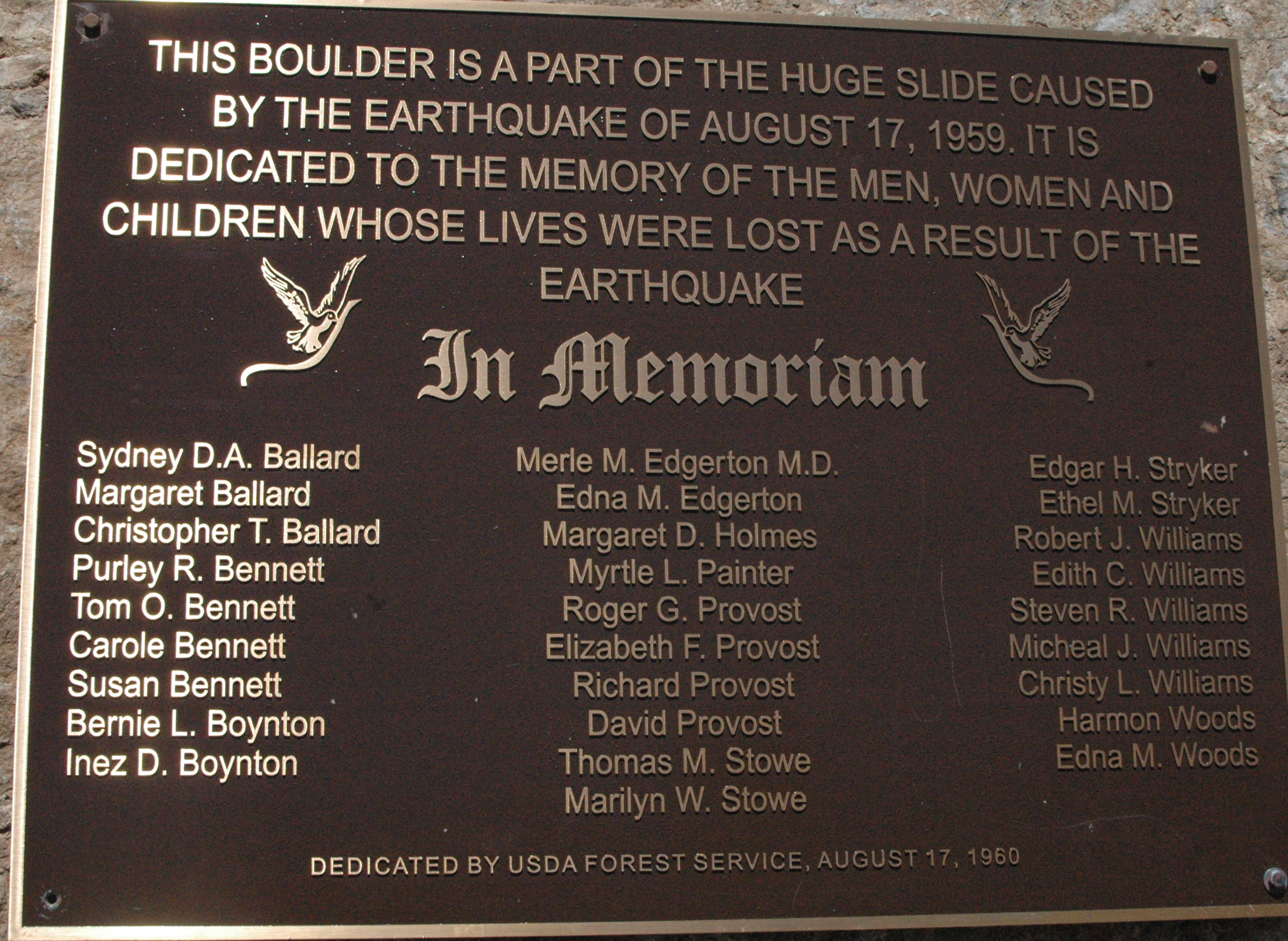
Quote for the day (in remembrance of 9/11): “If we learn nothing else from this tragedy, we learn that life is short and there is no time for hate.” – Sandy Dahl, wife of Flight 93 pilot Jason Dahl


 The bears are taken in and out of the bear habitat on a rotating basis. Before they switch out the bears, the staff will hide food under the rocks, and then a few bears will be let out to look for food. They have some nice sized grizzly bears on display. The ravens patiently wait by the bears and clean up all the scraps of food.
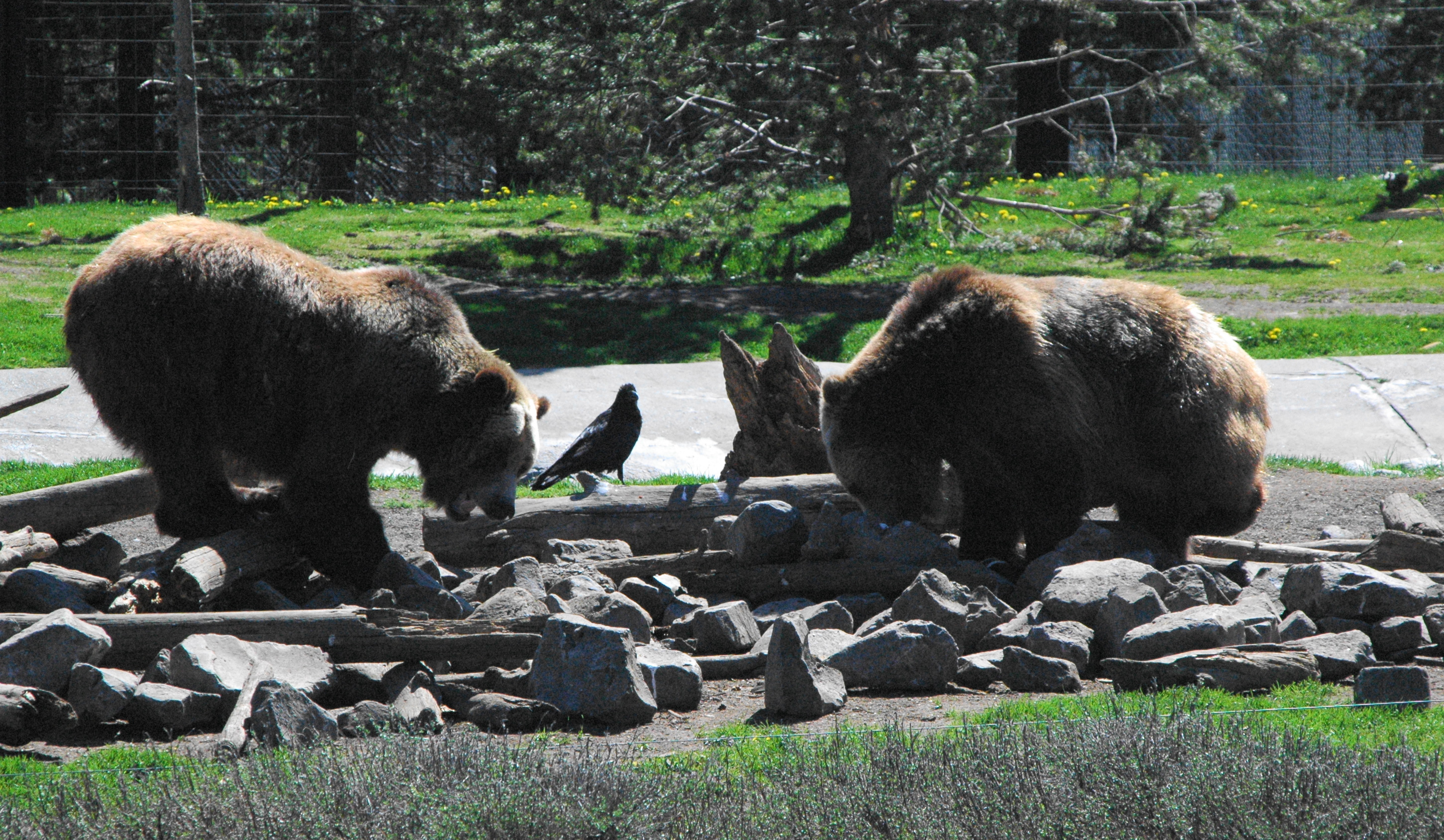
 They do have a children’s program where they let the kids come in and hide the food, which they seemed to enjoy, although some kids wanted nothing to do with touching the fish!