Hello everyone, it’s me, Makena, your favorite dog blogger!

I have a lot of ground to cover since it’s been a long time since I was allowed to post. But first, some sad news. My cat cousin, Bandit, passed away a few weeks ago, at age 18. I first met her when I was about 12 weeks old, and I was smaller than she was. Her and her sister kitty, Callie, chased me around their house on my first visit. Yes, I was bullied by cats. But as I got bigger, and a little braver, I got revenge, as I was able to get through their pet gate and eat their cat food. Bandit always hissed at me, and I occasionally got a paw to the face! Bandit will be missed, especially by Aunt Margie, Uncle Greg and my cousins Hannah and Molly.

About two weeks ago, my Canadian friend, Buddy, passed away. We were neighbors for a few winters in Yuma, and then we went to visit them at his house in Alberta. Buddy was nice to me, and we got along well. He will be missed, especially by Don and Kathy.
Pets are family. I believe there’s a special place in Heaven for all the animals. Until we meet again Bandit and Buddy.
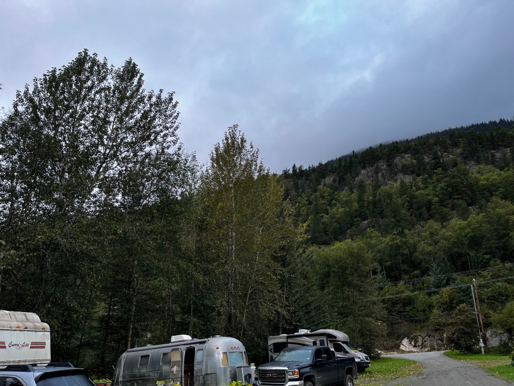
Summer in Wyoming
I really like my summer home in Wyoming. The weather is good and I have acres and acres of green grass to wander around on. I can’t be off leash though, because there are owls, hawks and coyotes around. My parents tell me I’d make a good snack for them. I like snacks! I just don’t want to be one. So I don’t mind being on my leash all the time.


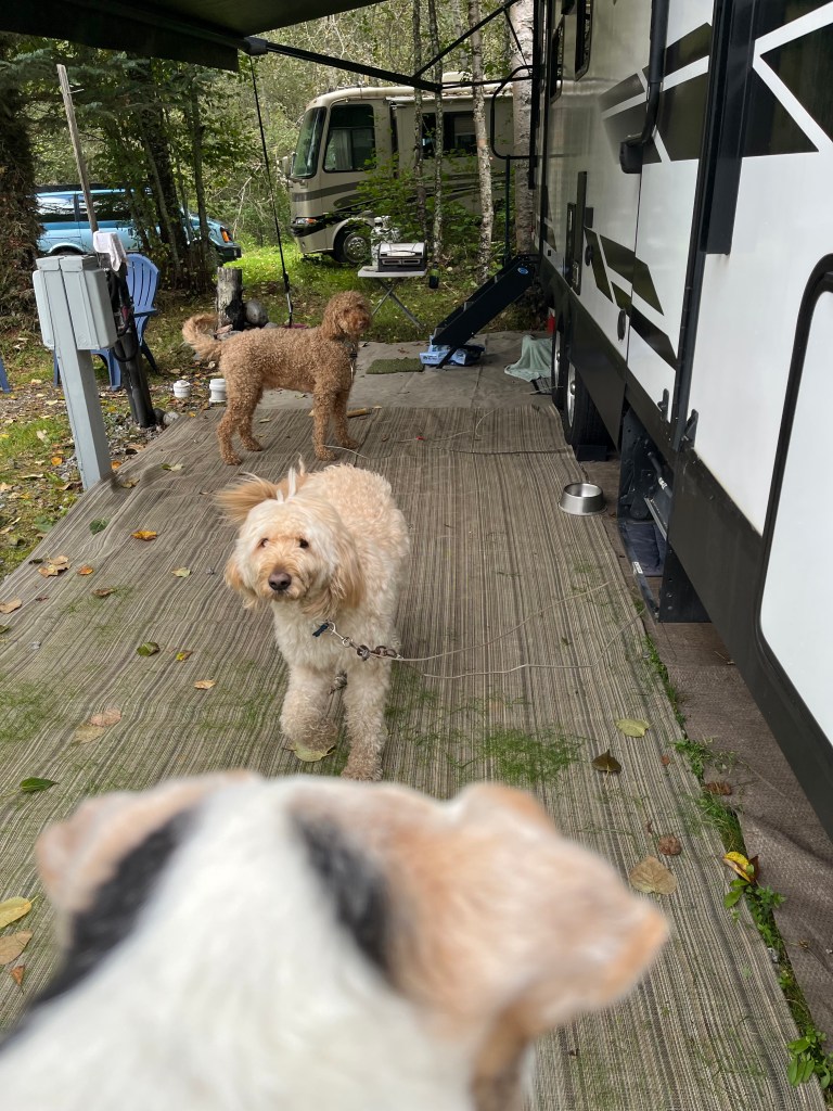
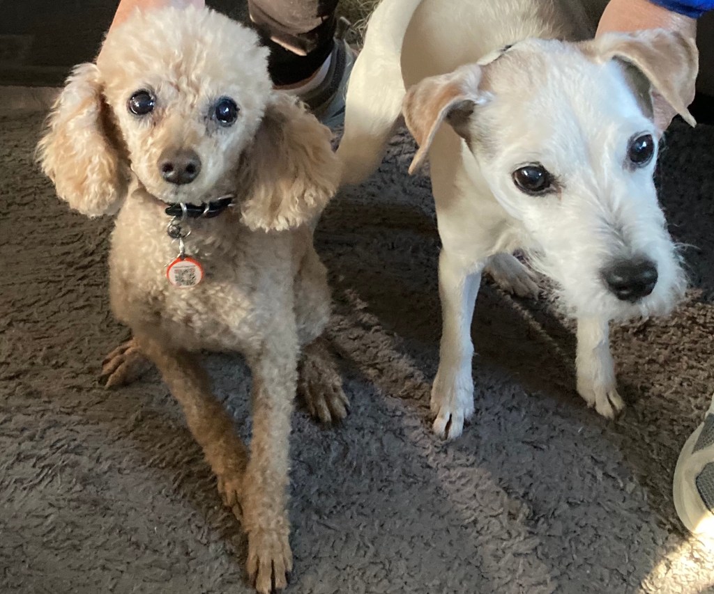
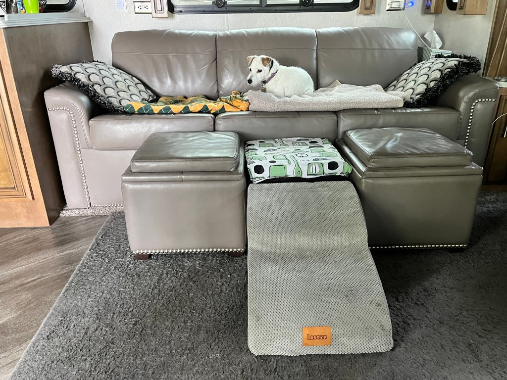
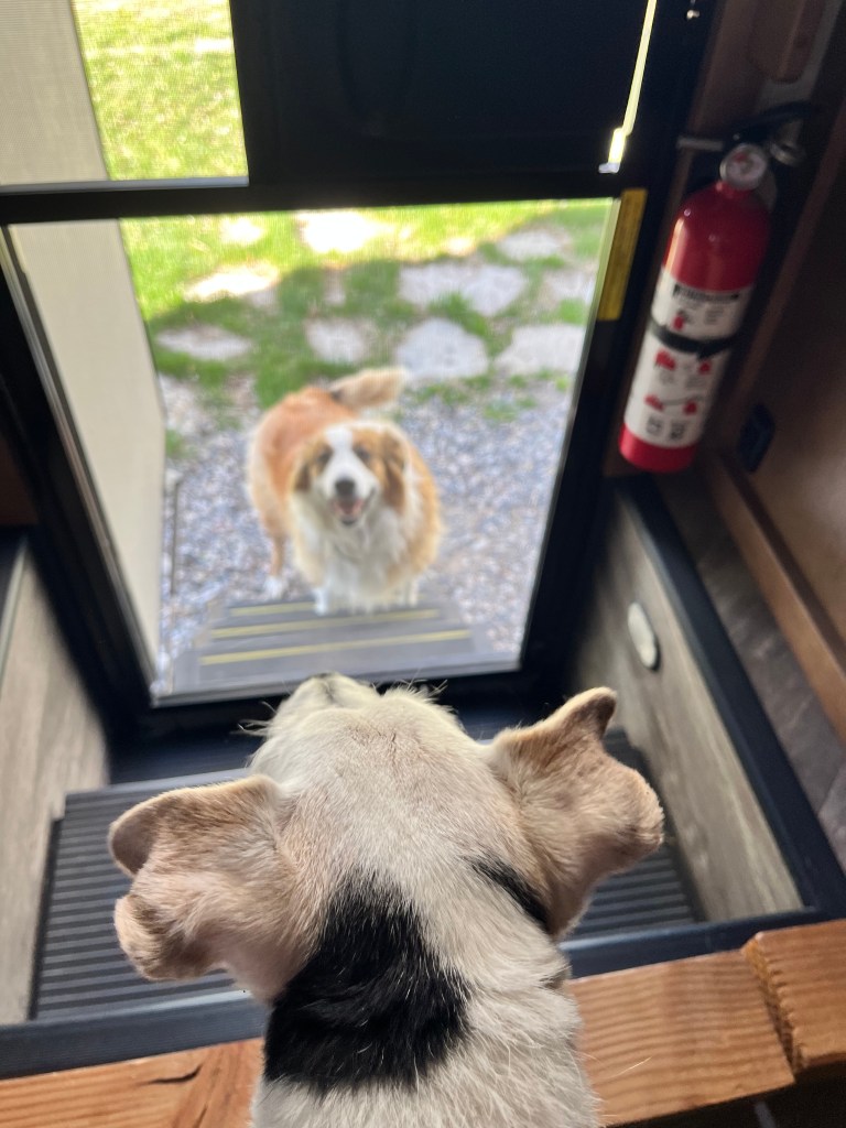
When we arrived, I was not the only dog on the property. About a week ago, the owners, Brad and Joanne, left for their summer home and take their two dogs, Colter and Lacy, with them. The dogs liked to come over and visit me. I spend most of my time on the couch, looking out the door, in case they stop by. Since I can’t jump on and off the couch anymore, due to a back injury from years ago, my parents bought a ramp and put up barriers so I don’t fall off the couch.
Lacy and Colter stop by almost every day!

I have to get off the couch and explain to Lacy why I’m not interested!
The horses and mules that spend the winter here all left by the end of May. They are very curious and want to smell me. I do my very best to ignore them.

Birthdays
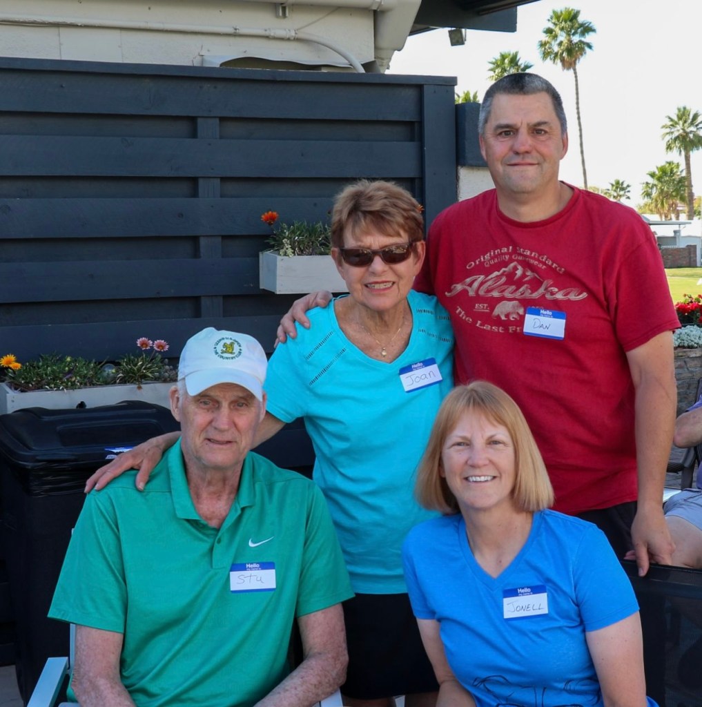
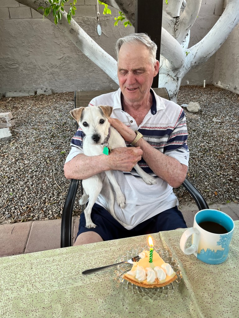
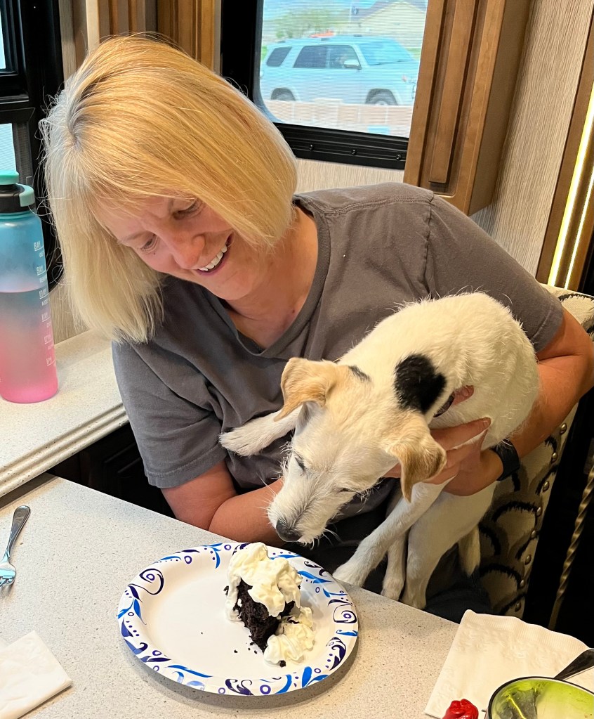
Since I last posted, I had my sweet 16 and 17th birthdays. Both years I was able to celebrate with Grandpa Stu, as we have the same date of birth, 70 years apart. Here we are celebrating my sweet 16!

I dove right in to the frosting! My mom wouldn’t let me eat the chocolate cake, only the whipped cream on top.
And this year we got to do it all over again. Happy 17th to me, and 87th to grandpa Stu! I think we both look great. I’m happy we were able to celebrate together.

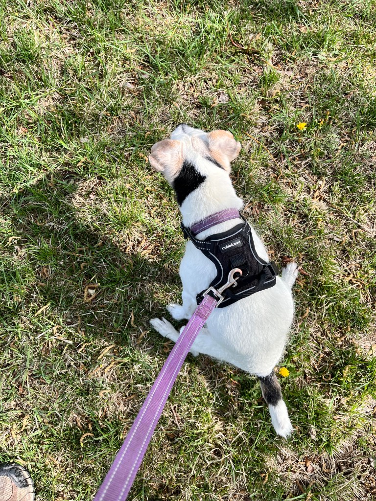
Age is starting to catch up to me. The last month or so I have been falling over when I squat to go potty. I just don’t have the leg strength anymore. The doctors told my parents this would eventually happen as a result of the blown disc in my back. So my parents just bought me a harness to wear when I go on a walk. I don’t mind it. When I squat down to pee, they put tension on the leash, and it keeps me upright.
Kids are getting big
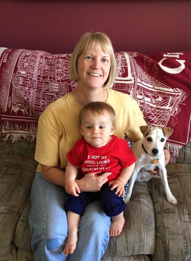
Back in May of 2018, I met my cousin Simon for the first time when we were visiting family in Minnesota. Simons parents are Carmen (Dan’s niece) and Luke. Since then, we try to take photos when we get together. He keeps getting brothers and sisters. I’m still the only dog, and I like it that way!
This is a series of photos from when we first met Simon, and adding on to his growing family.
In December of 2019 we got to meet Simon’s little sister, Amira, when they came to Arizona after Christmas. She was only 3 months old at the time of the photo.

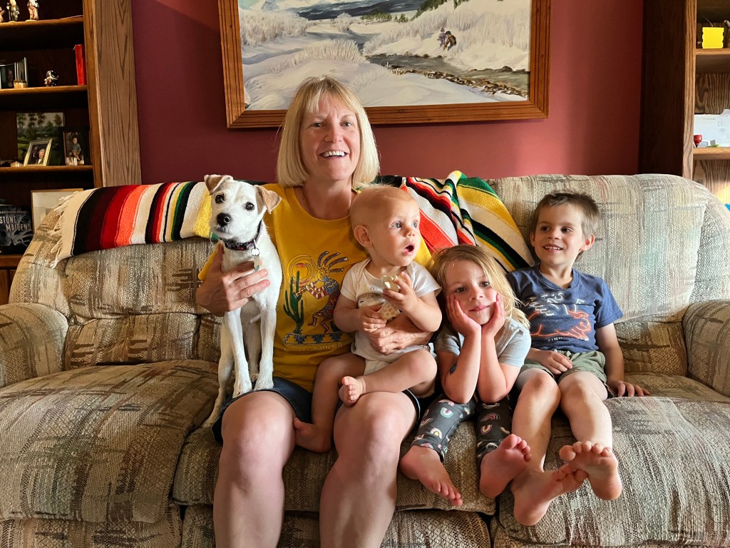
Last summer we were able to make a quick trip back to Wisconsin, along with a stop in Minnesota to visit Dan’s brother Gary and Julia. Once again, the kids came over for a visit, and there was yet another addition to the family. Welcome Miles! Although there’s still room on the couch for more kids, Carmen hinted that may not happen. But it’s fun seeing the kids getting bigger. And I’m staying the same lean, mean machine!
Well that’s about it for now. It’s time for a nap. I like naps! Take care everyone!
Quote for the day: “When your children are teenagers, it’s important to have a dog so that someone in the house is happy to see you.” – Nora Ephron